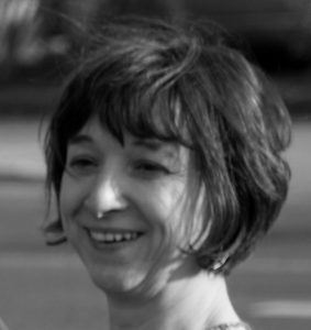
Prof. Valérie Cayol
Volcano deformation · 3D modelling · InSAR
Develops 3D deformation models to investigate magma storage and transport, volcanic flank motion, and the influence of topography on InSAR observations.
Research page ↗A personal selection of researchers whose work I follow across volcano geodesy, InSAR, volcanology and active tectonics. This is a non-exhaustive list: many other researchers make valuable contributions to this community.
Volcano deformation · 3D modelling · InSAR
Develops 3D deformation models to investigate magma storage and transport, volcanic flank motion, and the influence of topography on InSAR observations.
Research page ↗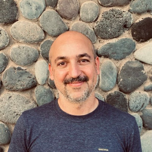
Volcano & earthquake geodesy · source modelling
Uses InSAR and mechanical modelling to investigate magma storage and migration, volcano flank instability, and interactions between fluids, rocks and faults.
Research page ↗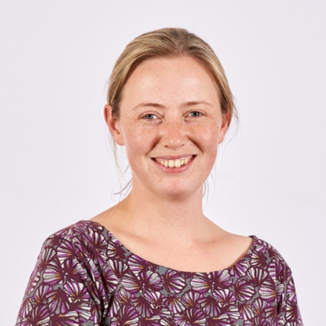
Volcano deformation · satellite geodesy
Uses satellite observations to study magma storage, volcanic edifice growth and collapse, and interactions between volcanoes, with applications to monitoring and hazards.
Research page ↗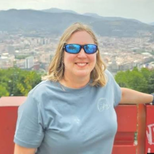
Volcano geodesy · hazard assessment
Combines satellite geodesy and machine learning to investigate volcanic unrest, continental rifting and fault deformation, and improve hazard monitoring.
Research page ↗ Matthew E. Pritchard
Geodesy · volcano deformation
Investigates surface deformation caused by earthquakes, magma movement, glacier dynamics and human manipulation of underground fluids, including carbon storage and resource extraction.
Research page ↗ Tim Wright
InSAR · tectonics · earthquakes
Develops InSAR observations of strain accumulation, earthquake deformation and magmatic rifting to understand active faults and the growth of continental crust.
Research page ↗ Paul Segall
Geodesy · earthquake & volcano mechanics
Combines geodetic observations and physics-based models to study earthquake nucleation, slow slip, induced seismicity, and magma migration before volcanic eruptions.
Research page ↗ Thomas Walter
Volcano tectonics · remote sensing
Combines satellite radar, drone photogrammetry and field measurements to investigate lava dome growth, volcanic flank instability, and interactions between earthquakes and volcanoes.
Research page ↗ Richard Walker
Active tectonics · earthquakes
Studies active faults and past earthquakes through landscape analysis, satellite observations and field geology, particularly across Central Asia and the Caucasus.
Research page ↗ IJ Hamling
Geodesy · earthquakes · volcanism
Uses InSAR and geodetic modelling to investigate tectonic and volcanic deformation, including the complex multi-fault rupture of New Zealand’s Kaikōura earthquake.
Research page ↗ Andy Hooper
InSAR methods · deformation
Develops InSAR time-series methods, including StaMPS, and combines deformation modelling with machine learning to investigate volcanic and tectonic processes.
Research page ↗ Valerio Acocella
Volcano tectonics
Studies volcano–tectonic processes across scales, with research on calderas, Etna and Campi Flegrei, and methods for forecasting eruptions.
Research page ↗ Joel Ruch
Volcano tectonics · geodesy
Investigates interactions between volcanism, faulting and tectonics, including caldera collapse, flank instability and dyke intrusion along rift zones.
Research page ↗ Raphael Grandin
InSAR · earthquakes · tectonics
Studies earthquake processes, volcanic deformation and tectonic–magmatic interactions, with particular interest in Afar, the India–Eurasia collision zone and Chilean subduction.
Research page ↗ Michael Poland
Volcano geodesy · monitoring
Uses InSAR and microgravity measurements to track volcanic deformation and subsurface fluid changes, improving understanding of unrest and forecasting of volcanic activity.
Research page ↗ Freysteinn Sigmundsson
Volcano geodesy · Iceland
Uses space geodesy to investigate magma movement, tectonic deformation and crustal responses to changing ice loads, with extensive research on Icelandic volcanoes.
Research page ↗